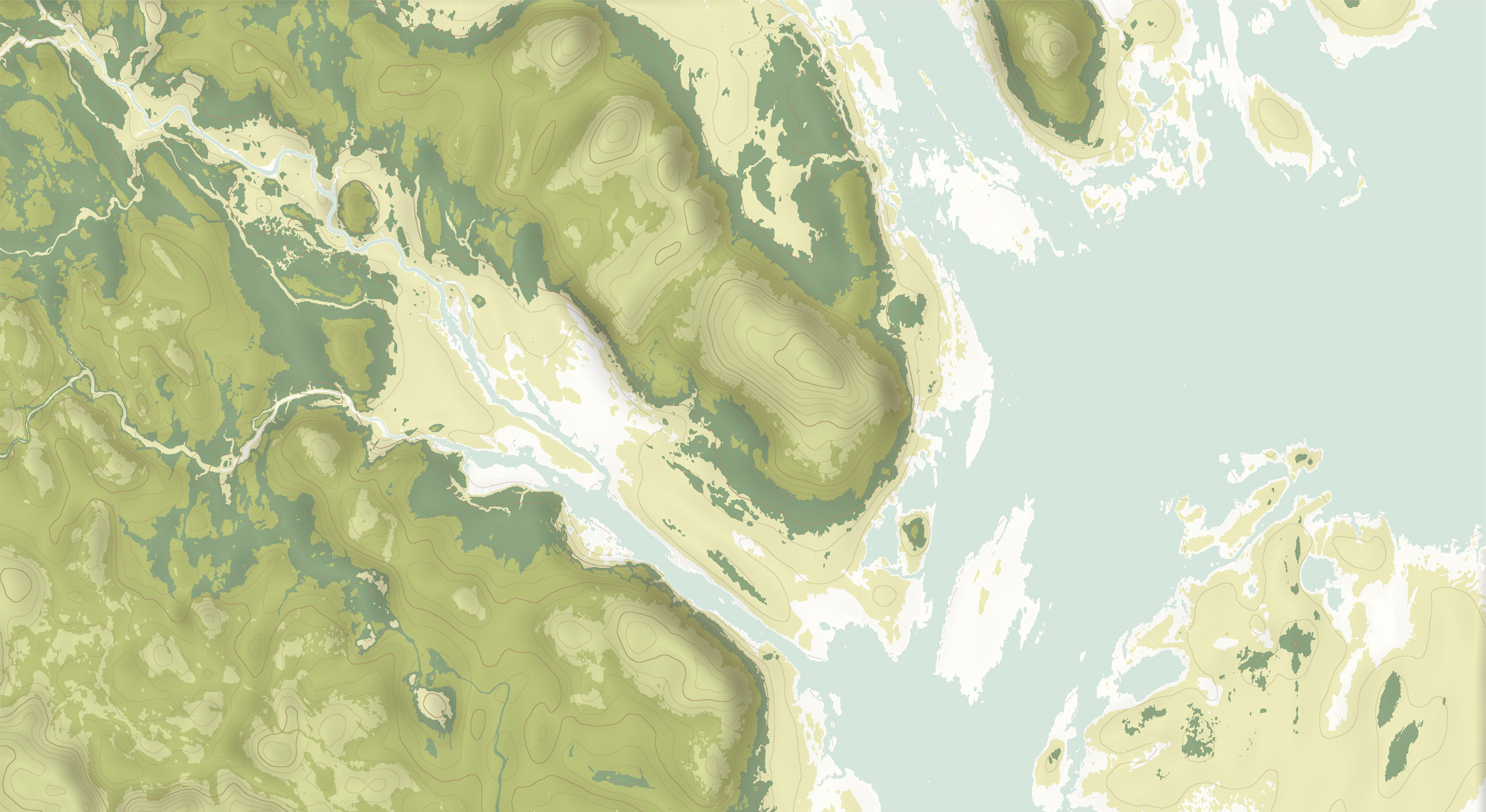
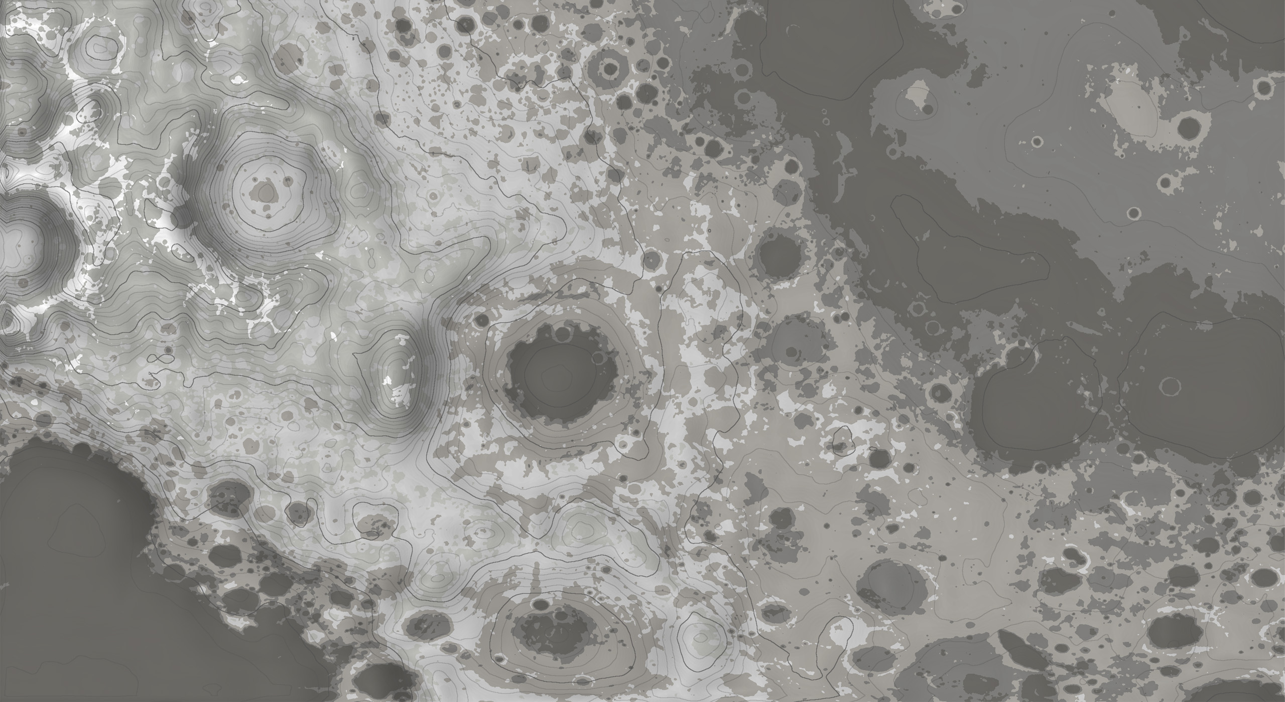
Procedural topographic map generator based on real-world heightmap data. Sample heightmap data provided including data sampled from Yosemite (California), the Moon, and Mars.
Most data taken from Tangrams Heightmapper
- Contour Identification
Procedurally identifies contour lines through a two pass edge detection algorithm utilising a gaussian model blur pass for line smoothing. - Flat Shading
Flat cell-based shading for underlying height map to better distinguish contour lines and better resemble a real-world topographic map. Colouration is based on height. - Steepness Shading
Shading based on the heightmap's gradient/steepness. Darker shading means a steeper incline, and lighter shading means more flat terrain. - Exposed Parameters
All parameters contributing to the final image are serialized to allow fast modification of colours, heights, contour data, etc... Heightmaps may be provided to the system as .png or .jpg
Below is a development case-study detailing the creation process of this system,
Procedural Topography