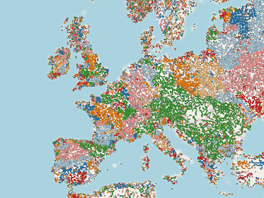
osm-river-basins - waterwaymap.org
See the website.
News & Updates on the OSM Town Mapstodon.
- Fedi/Mastodon post
- OSM Community Forum
- Hacker News: #1 (2023-08-30) (as “OSM River Basins”), #2 (2024-01-24)
- “Flowing Connections: Mapping rivers & streams with WaterwayMap.org” Presentation at State of the Map Europe 2024 in Łódź, Poland on Sun. 21st July 2024. slides. programme entry
- neis-one
#WaterwayMapOrg(older#RiverMappingtag). - OSMCha
#WaterwayMapOrg(older#RiverMappingon OSMCha)
- Should river lines be mapped through lakes, estuaries, gulfs, and other large water bodies? (Oct. 2023)
- Flowlines tagging proposal. osm comm. forum &
tagging@.
- Flowlines tagging proposal. osm comm. forum &
- Properly mapping dry washes (Jan. 2024)
- Is there a common tag for underground infiltrated watercourses? (Apr. 2024)
- How to map a Lazy river in an amusement park (May 2024)
- RfC: Deprecate use of “waterway=pressurised” on anything not artificially built for hydropower uses (June 2024)
- All posts tagged
#waterwaymaporg, or#waterwayon the OSM Community Forum.
Loops in waterways are detected and shown on:
WaterwayMap.org/loops.
A CSV file of statistics of loops is generated and available for download at
data.waterwaymap.org/waterwaymap.org_loops_stats.csv. See the
osm-lump-ways documentation on the CSV stats
file
for documentation
It is used by @watmildon@en.osm.town for a
mastodon account summarizing stats:
@OSMWaterwayLoopStats@en.osm.town
feed
Points at which waterways end are shown on: WaterwayMap.org/ends.
To detect places where waterways (e.g. rivers) flow into a stream, a GeoJSON file of those is generated: data.waterwaymap.org/planet-waterway-stream-ends.geojson.gz (~ 2 MiB compressed). It can be loaded into JOSM to find errors.
It was asked for in issue 52, with the code in commit 4730275.
Copyright MIT or Apache-2.0, 2017→2024 Amanda McCann amanda@technomancy.org