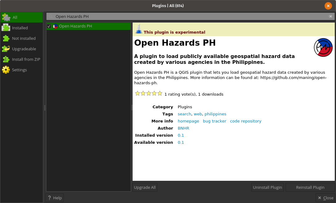
Open Hazards PH is a QGIS plugin that lets you load geospatial hazard data created by various agencies in the Philippines. It uses data stored in https://github.com/maning/open-hazards-ph.
The plugin is found in the QGIS Python Plugins Repository. The plugin can be downloaded there or within QGIS via the QGIS Plugin Manager. The plugin is tagged as experimental so make sure that you check the Show experimental plugins checkbox in the Settings tab of the Manage and Install Plugins window.
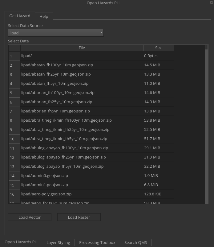
Select from 'lipad' (LiDAR Portal for Archiving and Distribution) or 'noah' (Nationwide Operational Assessment of Hazards).
Select the data you want to get/load.
Use this if the data to be loaded is a vector (check the name of the file to determine whether it's a vector or raster).
Use this if the data to be loaded is a raster(check the name of the file to determine whether it's a vector or raster).
When loaded, the layers are stored in memory. If you want to save a copy (file), you can Right click on the layer -> Export -> Save as.
We respect the license of the original source, each data source and data files have a corresponding license file. License varies from different agencies, in most cases government data are public domain.
Philippine government data policy changes from the tenure of an administration to another, we want to ensure that what was public will remain public even if projects ran out of funds or there is a change in access policy.
Yes! Please open a ticket on the open-hazards-ph repo and let's discuss.
- Ben Hur Pintor [@benhur07b]
- Add default symbology when loading layers
- Add ability to search/filter data
- by name
- by extent/area
- Add notification when plugin is running/done